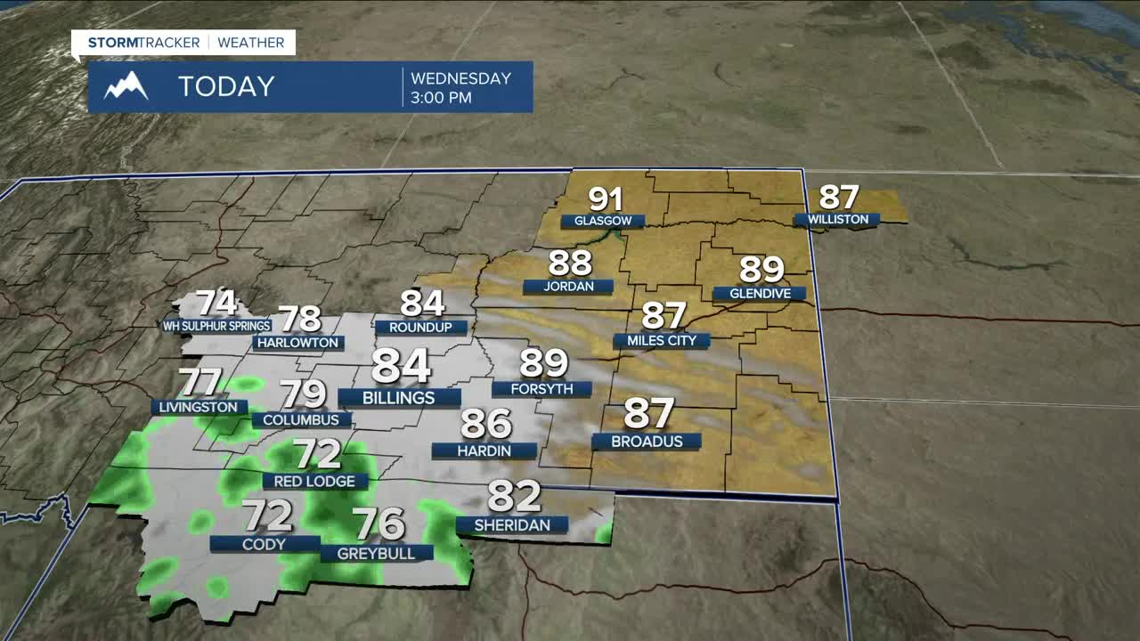


BILLINGS — Most locations will stay dry on Wednesday before the big push of moisture spreads through the region. Showers and thunderstorms will be mainly across the Beartooths/Absarokas and adjacent foothills through late in the day. Some storms could produce periods of heavy rainfall. Daytime highs will range from the mid-70s west to the mid-80s east.
The chance of precipitation will begin to spread east starting Wednesday evening. With ample moisture available, Thursday and Friday look to be the best bet for a decent chance of rain and, although no severe weather is expected at this time, some slow-moving storms could bring excessive rainfall and gusty winds. Flood-prone areas, including burn scars, should monitor the weather closely as flash flooding and debris flows could be an issue.
While temperatures aim to stay mainly in the mid-70s to mid-80s on Thursday, the rain will help trigger cooler temperatures on Friday and Saturday with highs in the mid-70s to low 80s.
There is a chance for lingering showers and a few thunderstorms (possibly heavy rainfall) to begin on Saturday, but drier air will try to push in by the afternoon. Warmer (low to upper 80s) and drier conditions are forecast to move in Sunday and Monday as high pressure takes over, but some models are hinting at more unsettled weather by the middle of next week.
Nighttime lows will be in the 50s and 60s through Thursday night, 40s and 50s Friday night through the weekend, then mainly 50s early next week.
Miller Robson
Q2 Morning Meteorologist
miller.robson@ktvq.com
