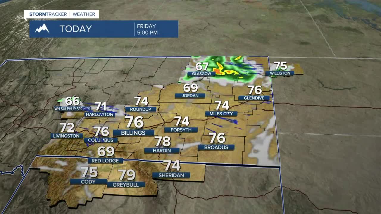


BILLINGS — Get ready for a Fall-like day on Friday as cooler air moves in behind a cold front, dropping temperatures 10–15 degrees below average, with highs mainly in the low to mid-70s. Moisture wrapping around a low moving across Canada will keep a chance of showers in the forecast throughout the day, especially north and east of Yellowstone County.
Winds chasing behind the front will bring gusts possibly over 40 mph to the western foothills on Friday and Saturday, while the rest of the area could feel gusts between 20–30 mph or maybe stronger in some locations. Areas closer to the Dakotas border could also see wind gusts over 40 mph on Saturday.
Drier air is forecast to begin moving in by Friday afternoon, bringing a mainly dry stretch of weather through at least the middle of next week, although a few isolated showers could pop up during the afternoon and early evening across the weekend.
Temperatures will warm into the upper 70s to low 80s on Saturday, low to mid-80s on Sunday, and then into the upper 80s to low 90s on Monday and Tuesday.
Some models are suggesting a shift to cooler and more unsettled conditions starting the second half of next week, but there is still high uncertainty with this.
Miller Robson
Q2 Morning Meteorologist
miller.robson@ktvq.com
