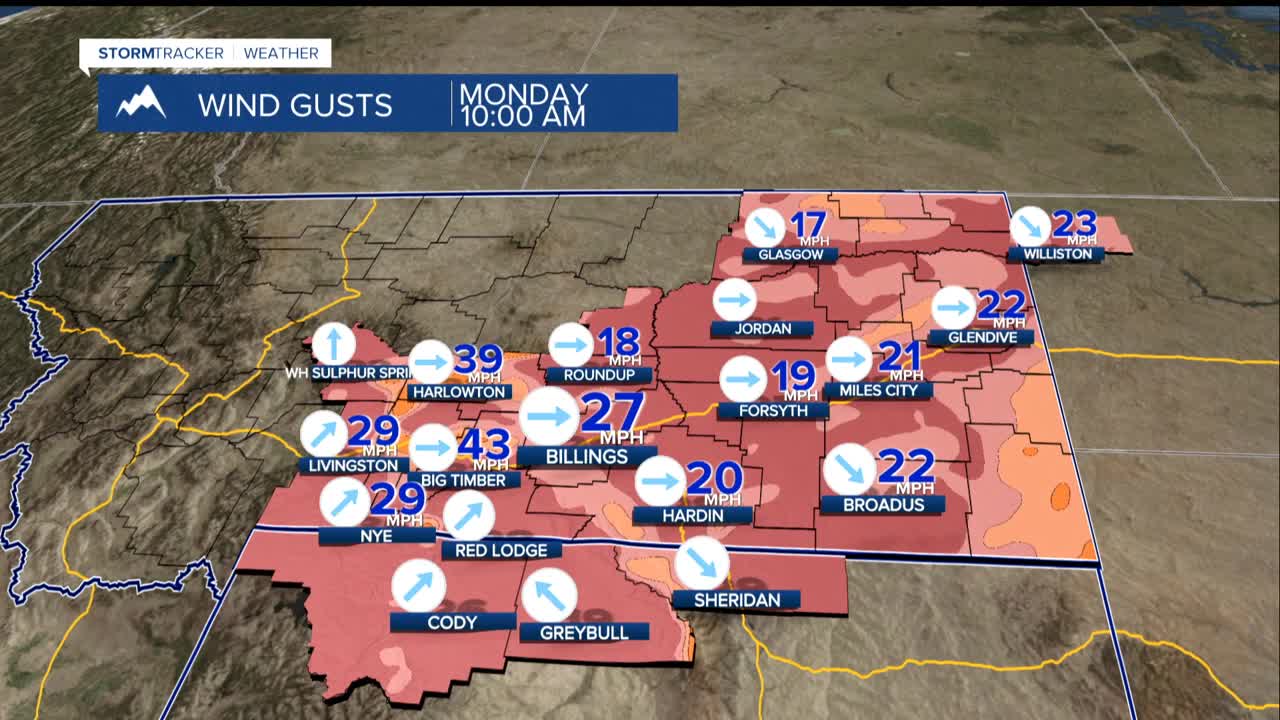


BILLINGS — Winds will die down this evening, setting the stage for a relatively peaceful Sunday night. However, don't get too comfortable. This calm is just the opening act for a weather show that will keep us on our toes all week long.
The spotlight turns to our foothill communities Monday night, where gap winds will steal the show near Livingston and Nye. Drivers along the I-90 corridor from Livingston to Big Timber should brace for gusts over 50 mph, with some potentially reaching 60 mph.
Tuesday, a frontal system sweeps through with light snow and gusty winds. While most areas won't see significant accumulation at about 2 inches or less, those living east and south of Billings have the best seats for this snowy performance.
A blast of Canadian air is muscling its way south for the weekend. Saturday and Sunday mornings could see temperatures below zero across much of the region - the kind of cold that makes your breath freeze mid-air and turns car doors into stubborn adversaries.
While there's a chance of light snow accompanying this arctic invasion, don't expect a blizzard. The atmosphere will be running low on moisture, but "overrunning" snow events can be tricky to predict this far in advance.
If you have outdoor plans for the weekend, now's the time to start thinking about backup options - or at least digging out those heavy winter coats. Check for updates throughout the week.
