


BILLINGS — For Sunday evening, strong storms have developed especially north of Billings. due to interacting weather patterns. An isolated storm could occur in eastern Montana as well.
Overnight, most of the stronger storms are likely to stay in northeast Montana, but a few could pop up locally. Cooler air is moving in with brisk winds can be expected through the morning.
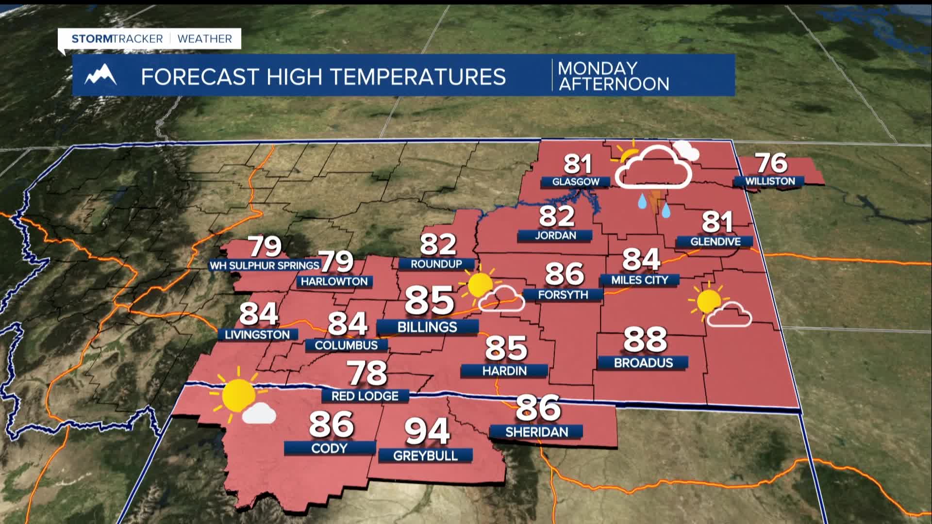
Monday, there will be increased moisture, meaning that conditions are changing and the chance of thunderstorms is going up. There could be strong storms Monday afternoon and evening with increased chances of severe weather like large hail and strong winds.
Overnight lows will range from the low 50s to low 60s. On Monday, daytime temperatures will be in the upper 70s to mid-80s.
Tuesday to Saturday, the weather pattern will continue to bring moisture and the potential for daily showers and thunderstorms. There's a chance for strong storms, especially on Tuesday and Wednesday, but the storms might move slowly, leading to heavy rain in some areas.
Overall, temperatures will be slightly below average, typically in the 70s and 80s. Stay alert for updates since weather conditions can change rapidly!
