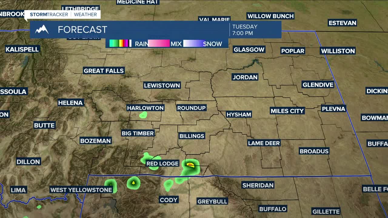


BILLINGS — Warmer air moving up from the south will increase temperatures on Tuesday, with highs reaching into the upper 80s to low 90s for much of the area, but locations in eastern Montana could stay in the low to mid-80s. There remains a low chance for a few hit-or-miss showers or thunderstorms during the afternoon and evening, but, like yesterday, most of the area won’t see any precipitation.
Wednesday will be the warmest day of the week as highs climb into the low to mid-90s, with a few areas reaching into the upper 90s and maybe even cracking 100 degrees. Take the necessary precautions against the heat if you plan to be outside for an extended period of time. Stay hydrated.
There will be elevated fire weather conditions on Wednesday across the western foothills, including Harlowton, Livingston, and Big Timber, due to low relative humidity and westerly winds gusting between 20 and 30 mph. Don't cause a spark!
Low pressure sliding across Canada will steer a cold front through the state on Thursday, dropping temperatures down to near seasonal or slightly above levels with highs in the mid-80s to around 90 degrees, along with a very slight chance of rain and maybe a thunderstorm or two.
Daytime temperatures will remain near seasonal or slightly warmer than the norm on Friday and through the weekend, with highs ranging from the mid-80s to low 90s. A very slight chance of daily showers and thunderstorms is expected during this stretch. Some models indicate these temperatures and drier conditions may last into the middle of next week.
Nighttime lows will be in the 50s and 60s through early next week.
Miller Robson
Q2 Morning Meteorologist
miller.robson@ktvq.com
