


BILLINGS — High pressure locks in on Friday, bringing dry conditions through Sunday afternoon. Daytime highs will generally be in the mid-to-upper 70s.
Plentiful sunshine is expected on Saturday, with daytime highs warming into the upper 70s to mid-80s.
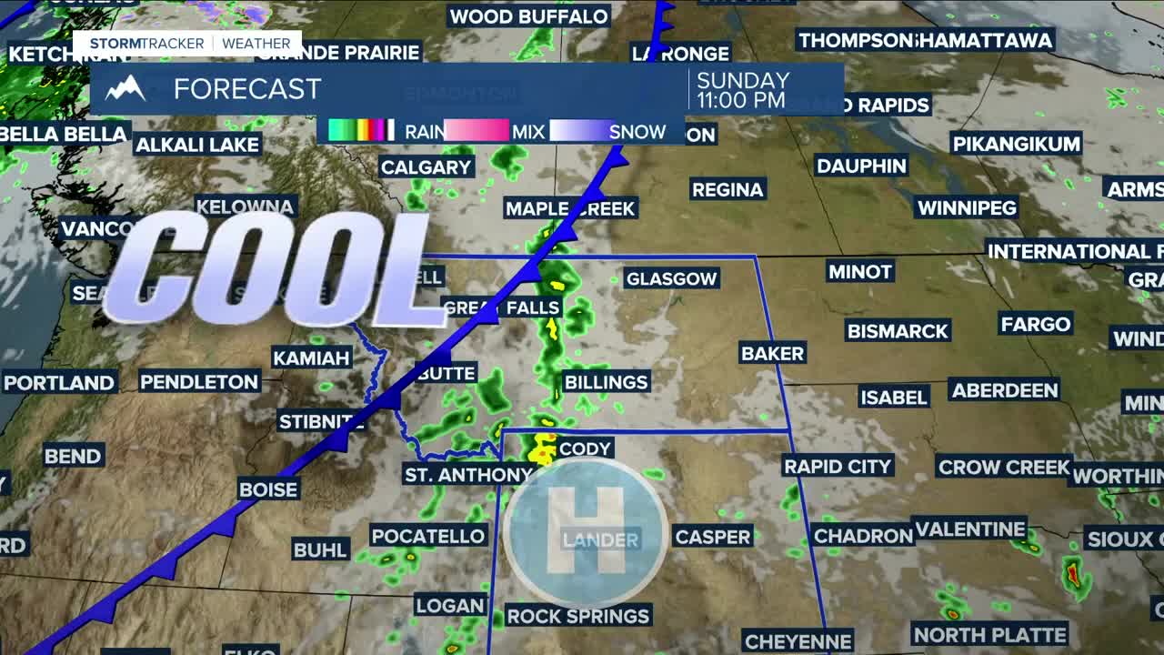
Sunday will be mainly sunny, with highs mostly in the low-to-mid-80s, before a chance of showers and thunderstorms moves in from late afternoon through at least Monday morning as a cold front sweeps through. Winds will also increase behind the front, with gusts between 20–30 mph possible on Monday. It will also be 10–20 degrees cooler on Monday, with highs ranging from the 50s in the west to the 70s in the east.
By midweek, dry and warmer-than-average temperatures are expected, with highs in the upper 70s to low 80s.
Nighttime lows will mainly be in the 40s and 50s through the middle of next week.
Miller Robson
Q2 Morning Meteorologist
miller.robson@ktvq.com
