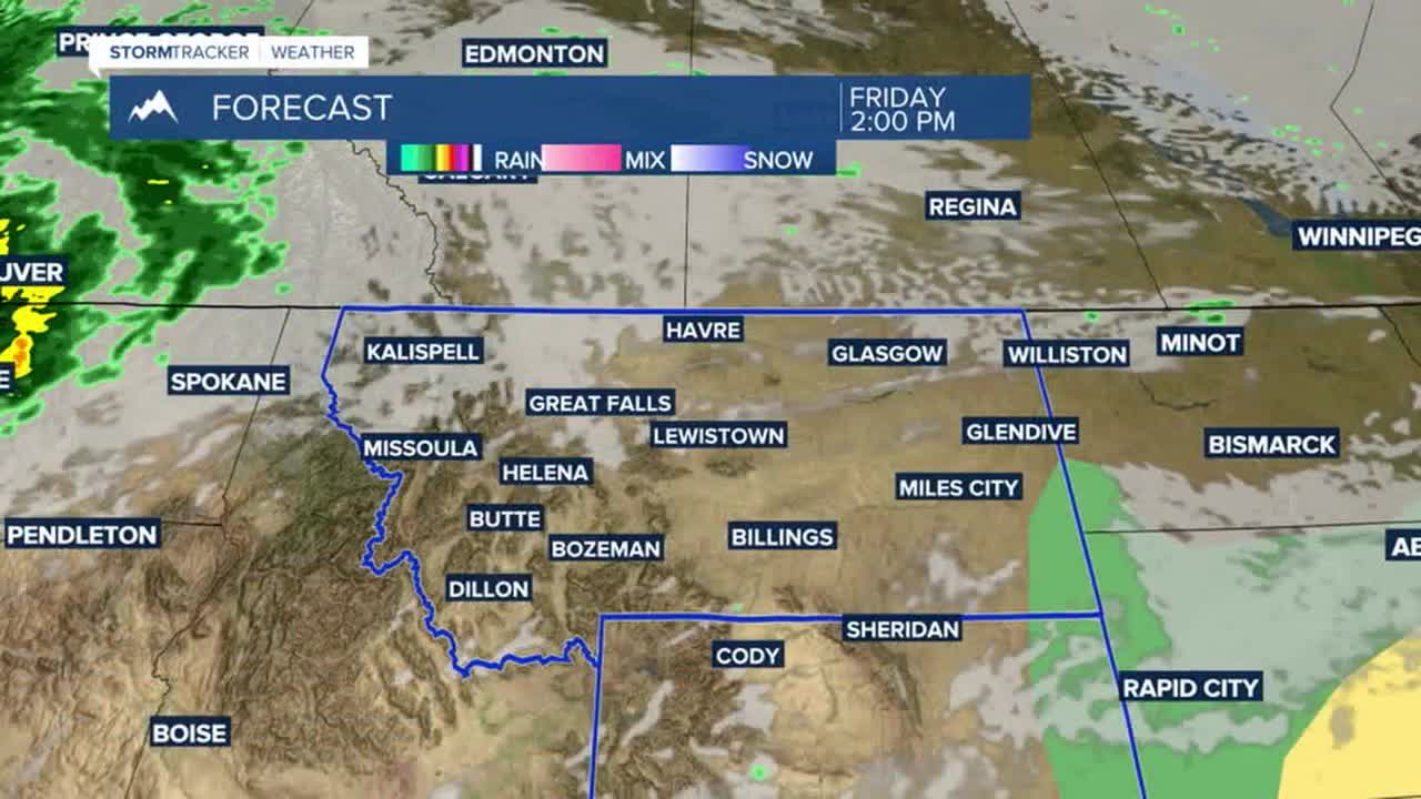


BILLINGS — High pressure will keep chances for rain and thunderstorms low on Friday for most of the area as daytime highs warm into the mid-80s to low 90s under a good bit of sunshine. There is a MARGINAL (1 out of 5) risk for a few strong to severe storms in east-southeastern Montana and northeastern Wyoming.
A few disturbances may bring a slightly better chance of rain Saturday through Monday. Any storms that do pop up may produce gusty winds and heavy rain in isolated instances. A risk of severe storms is possible across the eastern plains on Saturday and Sunday.
We can expect near-seasonal August weather through next week, with mainly dry conditions and daytime highs near or above normal in the upper 80s to mid-90s, with Tuesday and Wednesday expected to be the hottest days, with temperatures pushing into the mid-90s to near 100 degrees in some locations.
This dry and warm stretch will bring some increased wildfire risk. Don't cause a spark.
Nighttime lows will be in the 50s and 60s through the middle of next week.
Miller Robson
Q2 Morning Meteorologist
miller.robson@ktvq.com
