


BILLINGS — It will be sunny and warmer on Wednesday, with highs in the upper 80s to mid-90s, as high pressure keeps dry conditions in place. However, the extreme southeast corner of the state could see an isolated strong to severe storm during the late afternoon. Skies will be hazy as southwest flow continues to steer wildfire smoke into the area. Much of this should stay aloft, but those sensitive to smoke should monitor air quality before heading outdoors.
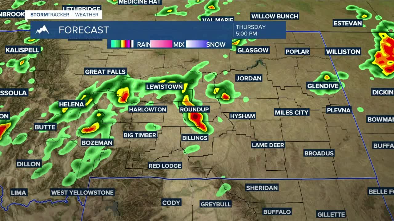
Thursday starts off dry ahead of a cold front that is forecast to move through beginning Thursday evening, bringing a chance of rain and thunderstorms by late in the day. Much of the area will have a chance of strong to severe storms, with strong winds, hail, and heavy rainfall possible during the afternoon and evening hours. Highs on Thursday will be a bit cooler, in the mid-80s to low 90s.
Expect a chance of showers and thunderstorms on Friday, which will decrease in the afternoon as the front moves away. It will also be cooler, with many locations seeing temperatures 10+ degrees below average, with highs in the mid to upper 70s.
A few isolated showers could pop up on Saturday. Other than that, expect a dry weekend as daytime highs gradually warm back into the 80s.
Dry conditions and near-seasonal temperatures will continue for much of next week.
Nighttime lows will be mainly in the 50s and 60s through next week.
Miller Robson
Q2 Morning Meteorologist
miller.robson@ktvq.com
