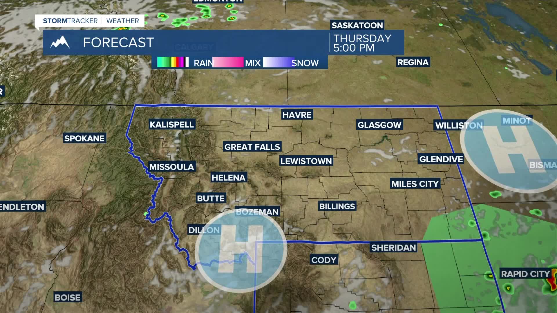


BILLINGS — High pressure moving in from the west on Thursday will bring mainly dry conditions to the area, but there will be just enough instability to allow for a low chance of isolated showers and thunderstorms during the afternoon and evening. While a few storms could turn strong, there is a MARGINAL (1 out of 5) risk for severe storms in southeast Montana and northeast Wyoming. Daytime temperatures will warm to around seasonal levels, with highs in the mid-80s to around 90 degrees.
The MARGINAL risk will expand across most of east-central Montana on Friday as southwest flow maintains a chance of daily afternoon and evening showers and thunderstorms through early next week. Much of the area will have a better chance of strong to severe storms on Saturday.
Daytime highs will rise into the upper 80s to mid-90s on Friday and Saturday, cool slightly into the mid to upper 80s on Sunday, then settle into mainly the mid-80s from Monday into Wednesday.
Nightly lows will be in the 50s and 60s through the middle of next week.
Miller Robson
Q2 Morning Meteorologist
miller.robson@ktvq.com
