


BILLINGS — A weak cold front is passing through the area Monday, bringing strong north to northwesterly wind gusts of 20 to 30 mph, and some light rain showers that may stick around into the evening. There's also some wildfire smoke expected to move in overnight, but it should be lighter than what was seen on Sunday.
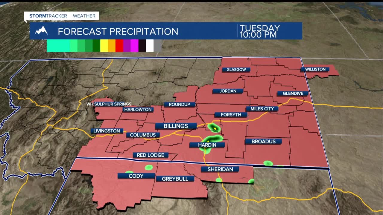
Tuesday, winds will shift to the south, warming temperatures back up into the upper 80s to low 90s, with slightly cooler weather near the Dakota border. There’s a small chance of afternoon storms, but not much moisture is present in the air, so strong storms are unlikely.
On Wednesday, temperatures are expected to climb even higher, reaching the 90s in many areas, with a chance of going over 100 in some lower elevations. If you're outside, stay cool and drink plenty of water. Fire Weather concerns will be somewhat elevated.
From Thursday to Sunday, a cold front from Canada will bring temperatures down into the 80s. We can expect some daily chances for rain and thunderstorms, though severe weather is not likely.
Looking ahead to next week, it seems like warm and dry weather could return, but there's still some uncertainty about how hot it will get.
