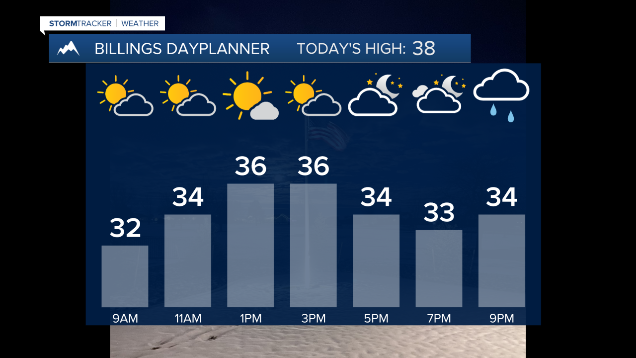
BILLINGS — A weak wave this Friday morning brings spotty snow for the mountains and foothills before tapering off briefly by late morning. The bigger story is a stronger Pacific system moving in, interacting with a cold front that will bring a better chance of snow this evening through Saturday morning. Another shot of light snow will also be possible Saturday night through Sunday morning. The mountains could pick up a few feet of snowfall while the lower elevations are generally looking at a trace to 2", with the higher amounts in our eastern counties.
Winds will be gusty across the western foothills on and off through the weekend, tonight into Saturday morning (30–50 mph from Livingston to Harlowton), then another round Saturday night into Sunday. About a 45% chance of 50+ mph both times.
Next Week: Much warmer to start—40s to low 50s—thanks to strong downslope winds. High confidence in very strong gap winds Monday night–Tuesday (60+ mph looks likely). More mountain snow and a few rain showers at lower elevations. Another Canadian front may return snow by Thursday.
Miller Robson
Q2 Morning Meteorologist
miller.robson@ktvq.com


