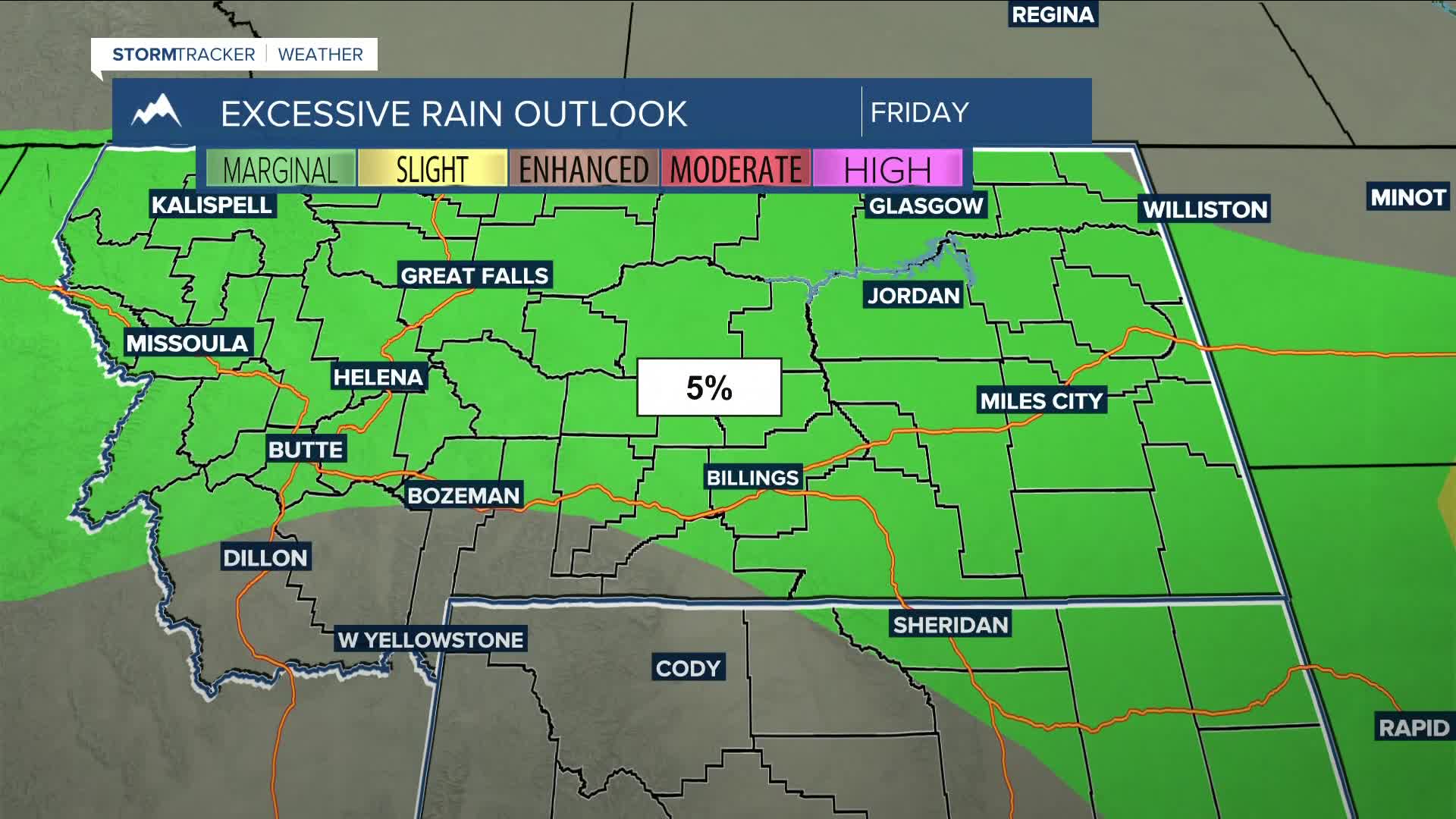


BILLINGS — More showers and thunderstorms are possible Friday afternoon and evening as southwest flow pushes another disturbance through. Much of the area has a MARGINAL (1 out of 5) risk for strong to severe storms, with heavy rainfall being the main concern with any storms that move through. Flash flooding will be possible, especially in flood-prone areas and burn scars. Gusty winds and hail will also be possible. Daytime highs will range from the low to upper 80s, with a few locations reaching the low 90s.
A chance of daily scattered thunderstorms remains in the forecast through the weekend. A few strong to severe storms are possible, with periods of heavy rain being the primary concern.
Monday is expected to be mainly dry as high pressure briefly builds. This is ahead of a Pacific trough that is forecast to sweep through Tuesday and Wednesday, followed by unsettled westerly flow later in the week, bringing a low chance of precipitation to the area for most of next week. There is some uncertainty with this, but for now, our area is leaning toward a drier stretch.
Near-seasonal temperatures are expected through next week, with daytime highs mainly in the 80s and nighttime lows in the 50s and 60s.
Miller Robson
Q2 Morning Meteorologist
miller.robson@ktvq.com
