


BILLINGS — The area gets a fall-like preview on what will be a very pleasant and dry Friday, with highs in the mid-60s to lower 70s under lots of sunshine. Skies will remain hazy from wildfire smoke, so monitor air quality if you have sensitivities, especially across northern Wyoming.
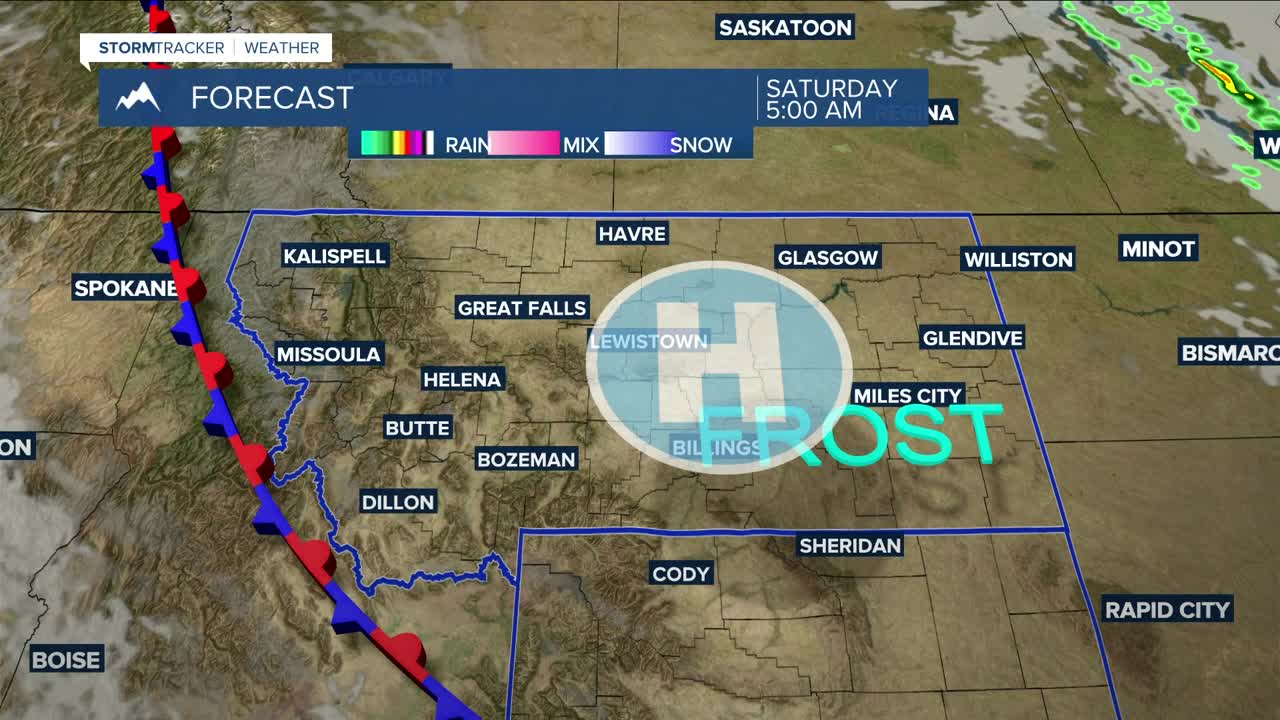
Overnight lows into Saturday morning will drop into the mid-30s to low 40s. Some locations could get their first frost of the season, especially in the eastern valleys, but the chances of a freeze are extremely low, although sub-freezing temperatures as low as 30 degrees will be possible across much of western and portions of central North Dakota, including Williston. Take precautions if you have sensitive outdoor plants or gardens… just in case.
Dry conditions continue on Saturday under the influence of upper ridging ahead of an upper-level disturbance that could bring some precipitation on Sunday. Saturday's daytime highs will be in the upper 60s east to mid to upper 70s central and west.
That weak upper low will bring a slight chance of rain on Sunday, with the best chance over our southwestern mountains and foothills. An isolated thunderstorm or two is not out of the question. Sunday's highs will warm into the upper 70s to mid-80s.
Monday looks to be warmer, with highs in the 80s to around 90 degrees as a slight chance of rain continues, the best chance again over the mountains.
Some models are showing a slow-moving upper trough over the West Coast Tuesday and Wednesday. If this holds true, more showers and possibly strong thunderstorms could be in the cards. There is still some uncertainty with this, though.
Daytime highs will be mainly in the mid-80s on Tuesday and Wednesday but could cool to the upper 70s to low 80s on Thursday depending on how that slow-moving upper trough pans out.
Outside of some areas dipping into the 30s on Friday and Saturday nights, nighttime lows will be mainly in the 40s and 50s through the middle of next week.
Miller Robson
Q2 Morning Meteorologist
miller.robson@ktvq.com
