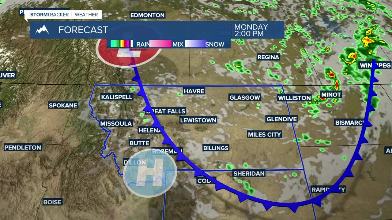


BILLINGS — High pressure will keep mostly dry weather in place on Monday, but a weak front will try to bring some rain to the area. Breezy to windy conditions with gusts between 20-30 mph will bring wildfire smoke and hazy skies to parts of the area. Be sure to monitor the air quality before heading outdoors if you have a sensitivity to smoke. Highs will be mainly in the mid-80s.
Tuesday and Wednesday will also be mainly dry and warm to hot, with highs in the upper 80s to low 90s on Tuesday, then mid to upper 90s on Wednesday- the hottest day of the week.
A trough is forecast to push through on Thursday, but there is some uncertainty about how this will affect the area during the second half of the week. Some models are suggesting hot (mid-90s to 100 degrees) and stormy conditions, while others are opting for drier but cooler (mainly 70s) weather. As of now, the trend favors the drier side with near-seasonal temperatures. We'll keep you posted. Stay tuned.
Nighttime lows will be in the 50s and 60s for the week.
Miller Robson
Q2 Morning Meteorologist
miller.robson@ktvq.com
