


BILLINGS — Rain at lower elevations and mountain snow continues through evening with the heaviest precipitation expected east of the Billings area. Snow levels drop to around 7,000 feet with 4 to 8 inches of additional snow accumulation possible in mountains.
Temperatures Thursday will hover in the mid-to-upper 40s with brisk northwest winds 10-20 mph.
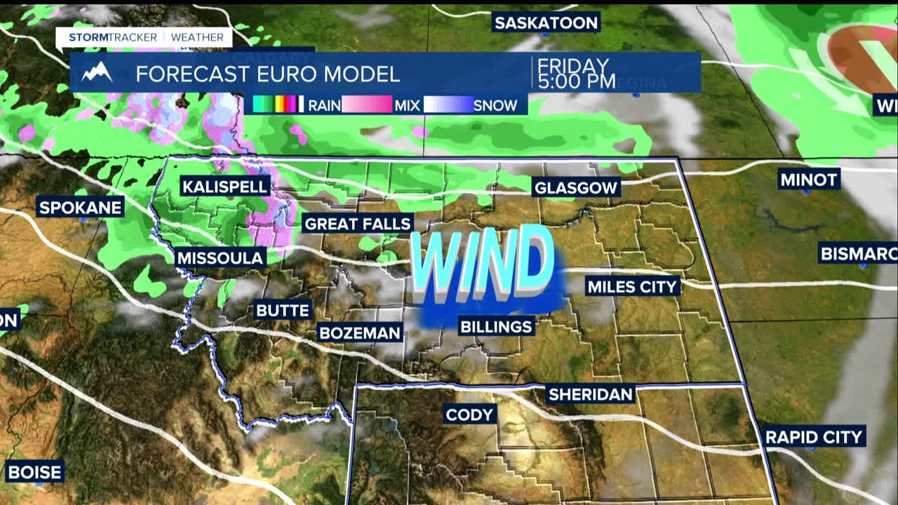
Friday: Brisk winds and slightly warmer temperatures in the mid-50s to lower 60s will highlight the day. Strong wind gusts exceeding 40 mph are likely, with the potential for 50 mph gusts in western foothills areas like Harlowton, Big Timber, and Livingston.
Friday Night - Saturday: Scattered showers return with additional mountain snow expected. Saturday high temperatures will be slightly cooler than Friday, mainly in the 50s.
Sunday: Dry and warmer conditions with high temperatures reaching 60s to near 70°. Best day of the forecast to take care of thing outside.
Monday: Cooler temperatures return as we go back to mainly 50s. This comes with another chance of rain showers and mountain snow.
Tuesday-Wednesday: Drier conditions return with seasonable temperatures in the 50s and a few low 60s.
