


BILLINGS — The region will remain stuck in an unsettled weather pattern for the rest of the week, as ample moisture continues to stream in, bringing daily rain chances—mainly during the afternoon and evening.
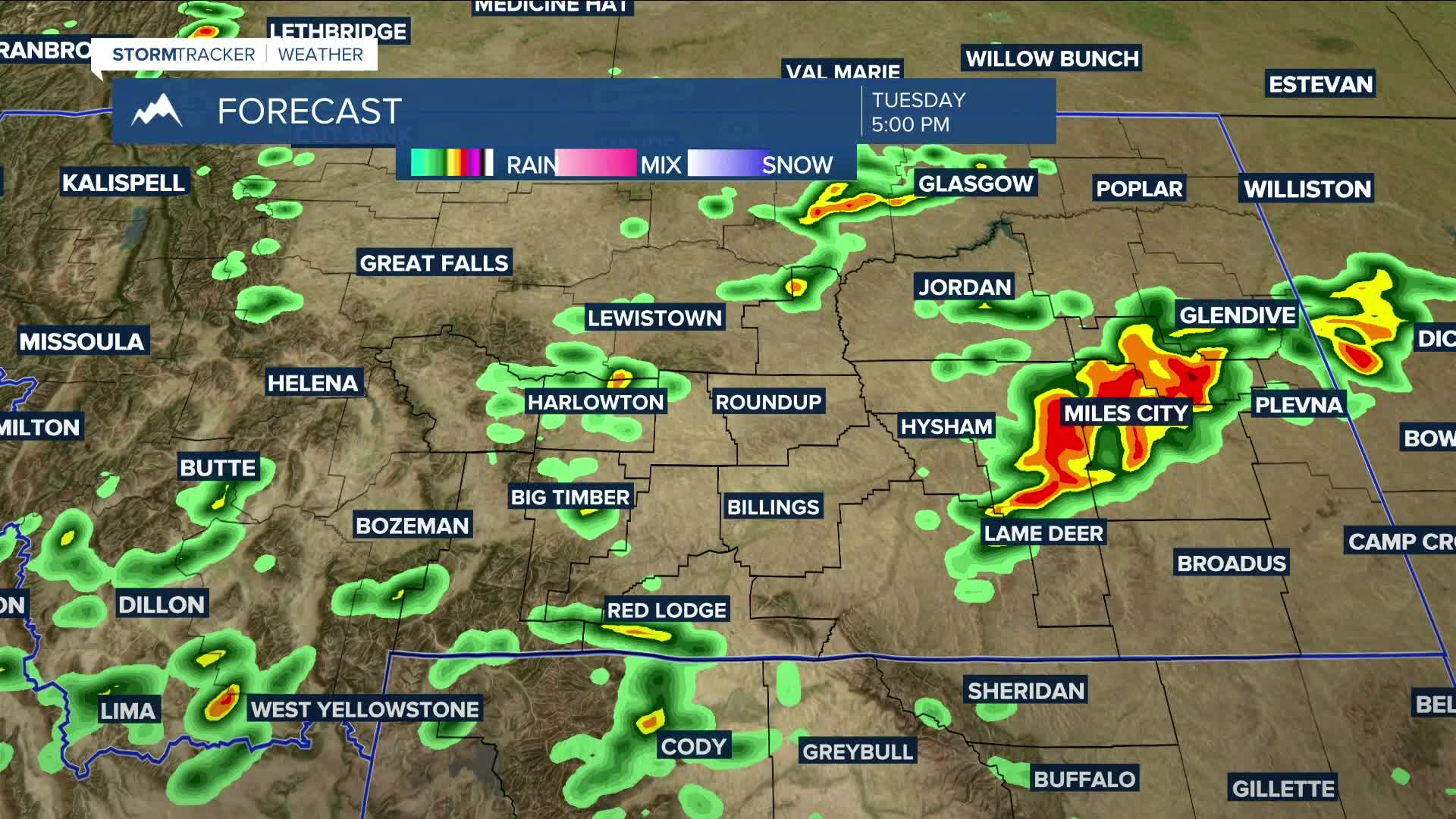
Strong to severe storms will be possible on Tuesday, with some storms potentially producing strong winds and large hail, along with periods of heavy rainfall that may lead to flooding in vulnerable areas. Daytime highs will range from the upper 70s to mid-80s.
There appears to be less instability on Wednesday, but severe thunderstorms will still be possible. The main concern with these storms is that they could be slow-moving, which increases the potential for higher rainfall and elevated flooding risks. It's something to keep an eye on.
Heading into the weekend, an area of low pressure is forecast to move through on Friday, shifting the flow to the west-northwest. This will bring a slight decrease in available moisture on Saturday and Sunday, but rain chances will persist.
Daytime highs for the rest of the week are expected to stay below average, ranging from the upper 70s to mid-80s, with a slight warm-up expected by the end of the week and into the weekend.
Nighttime lows will remain in the 50s and 60s through early next week.
Miller Robson
Q2 Morning Meteorologist
miller.robson@ktvq.com
