


BILLINGS — Welcome to October!
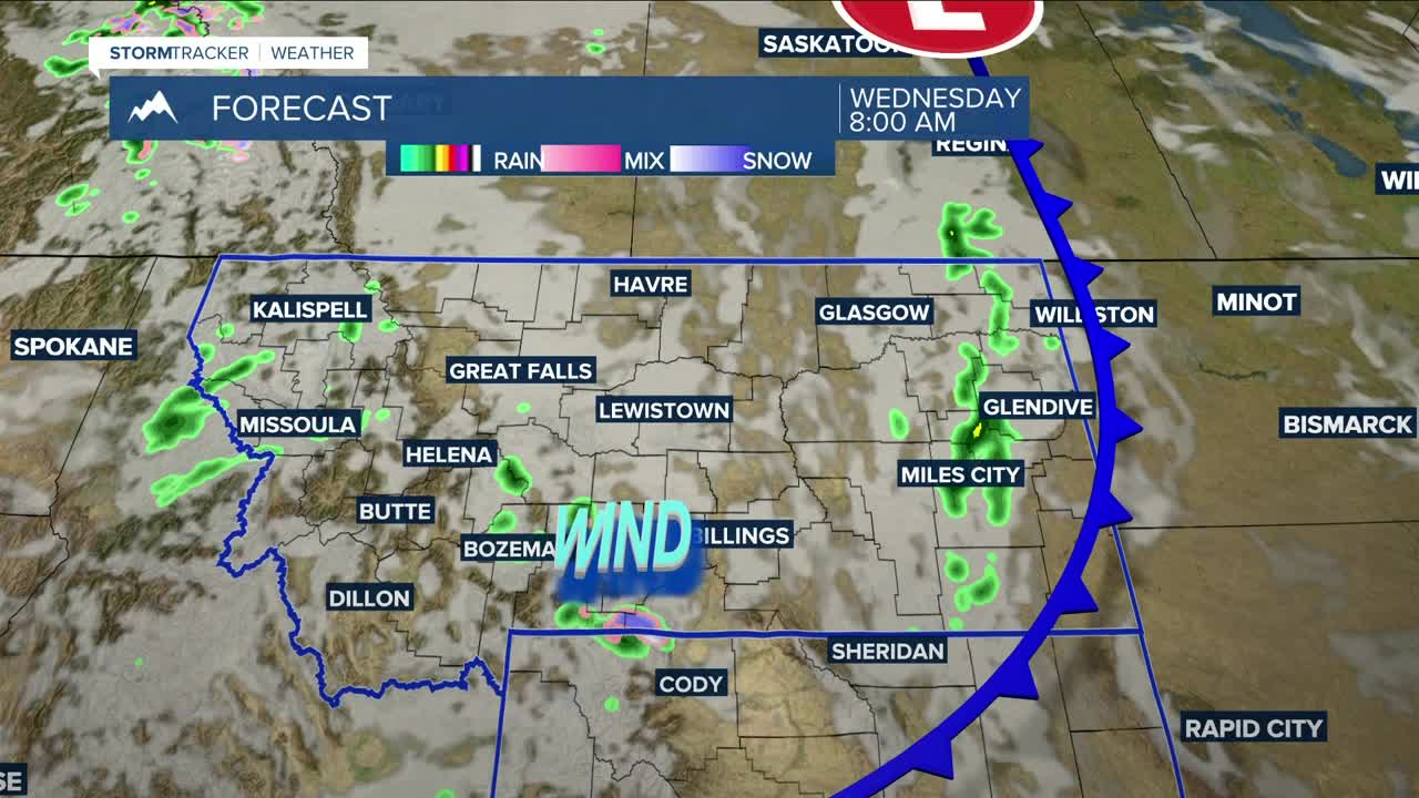
Wednesday starts off with some morning rain across the eastern plains, but conditions look to be mostly dry through Thursday, with only a slight chance of rain—mainly over the mountains and foothills. Daytime highs will remain above normal but will cool slightly, reaching the mid-70s to low 80s.
A change to a wetter and cooler weather pattern is expected to kick in on Friday and last through early next week. Daytime highs will range from the mid-60s west to mid-70s east on Friday, drop to the mid-50s to low 60s on Saturday, upper 40s to mid-50s on Sunday, and hover around the mid-50s on Monday.
Rain chances will increase on Friday, with showers continuing through Sunday morning. Much of the area will have a decent chance to get at least a quarter inch. A blend of models shows Billings picking up half an inch, while areas west and south could get up to an inch. Areas east and north could receive between a quarter and half an inch.
As for mountain snow, snow levels are forecast to drop to around 10,000 feet on Friday, falling to 8,000 feet Saturday. From Sunday into Monday morning, levels could dip as low as 5,500 feet, potentially impacting the foothills. Models are still trying to get a handle on potential snowfall amounts. For now, 6 inches or more is possible by Saturday, with up to a foot total in highest peaks by Monday morning if trends intensify. Be prepared.
Nighttime lows will remain in the 40s and 50s through Thursday night, then fall into the 30s and 40s Friday night through early next week. Many areas—including Billings—could see their first frost of the season Sunday and Monday nights. There’s even a decent chance of freezing temperatures over the foothills and river valleys.
Miller Robson
Q2 Morning Meteorologist
miller.robson@ktvq.com
