


BILLINGS — A chance of rain at lower elevations and mountain/foothill snow will linger through Monday afternoon (possibly Monday evening) as an area of low pressure moves east from Wyoming and a cold front begins to move in from the west. A Winter Weather Advisory is in effect for the Bighorn Mountains. Over a quarter inch of rain is possible in east-southeast Montana. Mostly dry conditions are expected Tuesday through Friday.
It will also be breezy across much of the region on Monday, with gusts between 20 and 40 mph expected, with the strongest winds west of Billings.
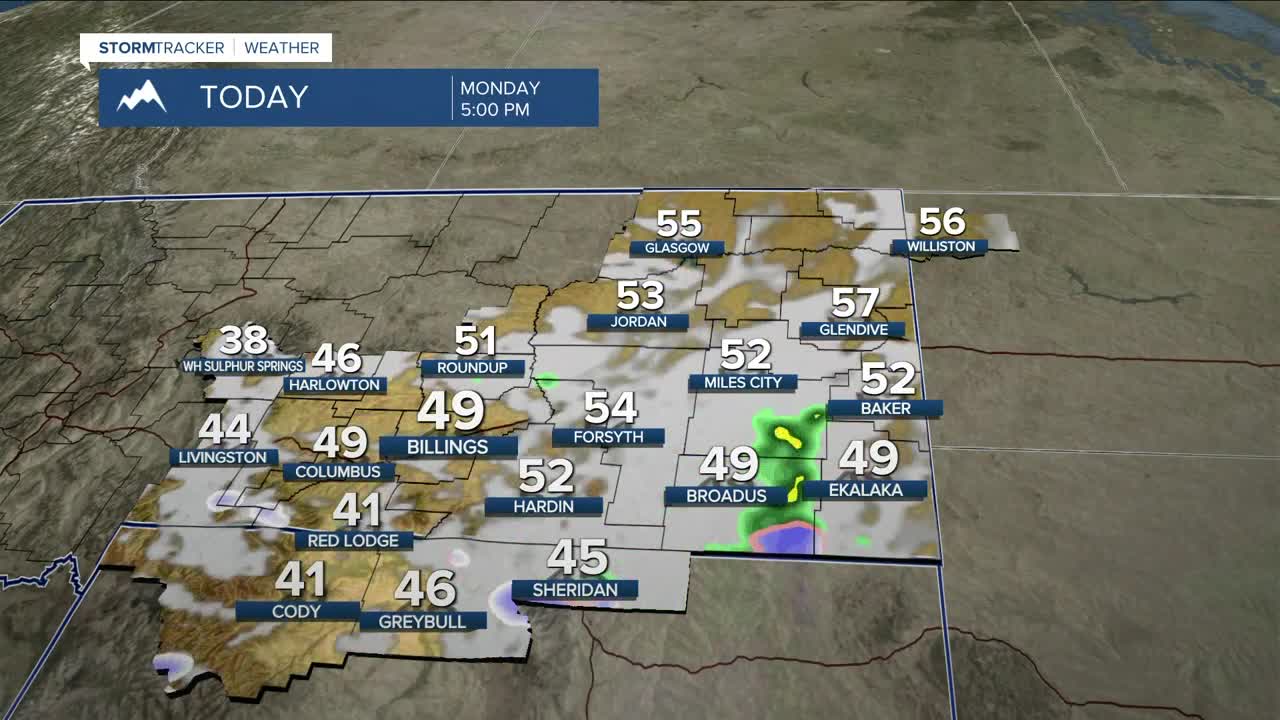
It will be cooler over the next few days as the cold front moves through, with highs in the 40s to around 50 degrees on Monday and Tuesday. High pressure will then help briefly warm temperatures into the 50s to around 60 degrees on Wednesday.
Another cold front is expected early Thursday and will cool highs back into the 40s across most of the area. Temperatures will warm again Friday into the weekend, reaching the 60s by Saturday.
Nighttime lows will be in the 20s to 30s Monday night, mainly in the 20s on Tuesday night, in the 20s to 30s on Wednesday and Thursday nights, then in the 30s to 40s Friday night and through the weekend.
Miller Robson
Q2 Morning Meteorologist
miller.robson@ktvq.com
