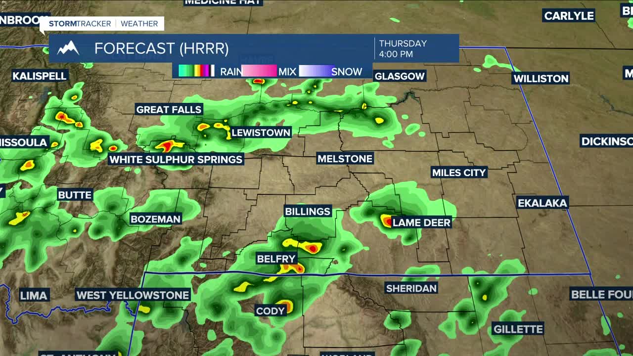


BILLINGS — An upper-level low over the Great Basin will help spawn more robust weather on Thursday, with strong to severe thunderstorms possible, gusty northwest winds up to 65 mph, and quarter-sized hail during the afternoon into the evening. Daytime highs will range from the upper 70s in the west to near 90° in the east.
A low-pressure system is forecast to move into western Montana on Friday (severe storms possible), bringing a much better chance of rain and cooler temperatures across the area heading into the weekend. By Sunday morning, locations east of Billings could receive half an inch of rain or more, while other areas could get up a quarter of an inch—depending, of course, on the track of the low.
Models are pushing a shortwave in late Monday/early Tuesday that would keep the area under an unsettled weather pattern.
Daytime highs will be in the mid-70s to low 80s on Friday, upper 60s to 70s on Saturday, mid-70s on Sunday, mid-70s to around 80° on Monday, then mid-70s on Tuesday.
Overnight lows will mainly be in the 40s and 50s through the middle of next week.
Miller Robson
Q2 Morning Meteorologist
miller.robson@ktvq.com
