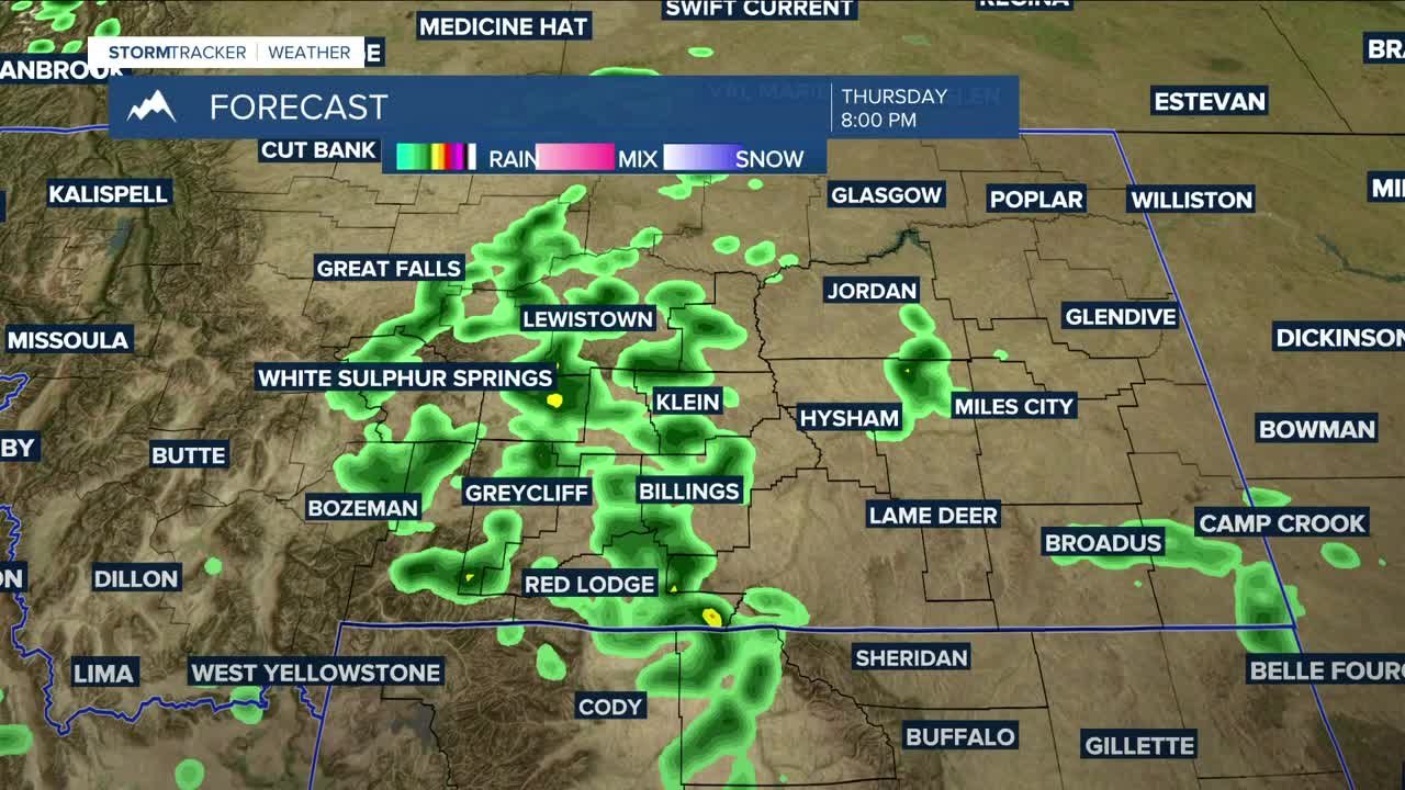


BILLINGS — Monsoonal moisture will continue to spread through the region, bringing a good chance of showers and thunderstorms on Thursday. Some storms could be slow-moving, with the potential to cause flash flooding in low-lying areas, creeks, streams, and burn-scar areas, where debris flow will also be a concern. Daytime highs will range from the mid-60s in the west to the mid-80s in the east.
Slow-moving showers and thunderstorms remain possible on Friday, as ample moisture will still be available to tap into. Heavy rain and gusty winds from outflows will be a concern. Highs will be in the mid to upper 70s.
After a rainy start, high pressure will begin to bring drier air into the region Saturday afternoon, as daytime highs warm slightly to the mid-70s to around 80°.
Sunday and Monday (Labor Day) are shaping up to be mostly dry and warmer, with highs in the low to mid-80s on Sunday, then mid to upper 80s on Monday.
Some models are hinting at another cooldown with more rain moving in by the middle of next week and confidence is growing, but it's too early to say for sure at the moment.
Nighttime lows will be in the 50s and 60s Thursday night, 40s and 50s Friday and Saturday nights, then mainly in the 50s on Sunday and Monday nights.
Miller Robson
Q2 Morning Meteorologist
miller.robson@ktvq.com
