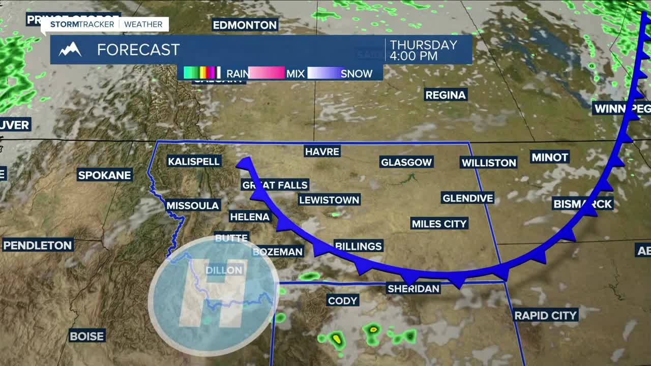


BILLINGS — An area of low pressure moving across Canada will push a weak cold front through the region Thursday, cooling temperatures down 5–10 degrees from Wednesday, with highs in the mid-80s to low 90s. Hit-or-miss showers and thunderstorms remain possible, especially during the afternoon and evening. It will be breezy to windy with low humidity so don't cause a spark!
We can expect a typical summertime pattern Friday through next week, with highs in the upper 80s to mid-90s and only a slight chance of thunderstorms each day as weak disturbances move through. Some locations could flirt with 100° next Wednesday.
Nighttime lows will be in the 50s and 60s through the middle of next week.
Miller Robson
Q2 Morning Meteorologist
miller.robson@ktvq.com
