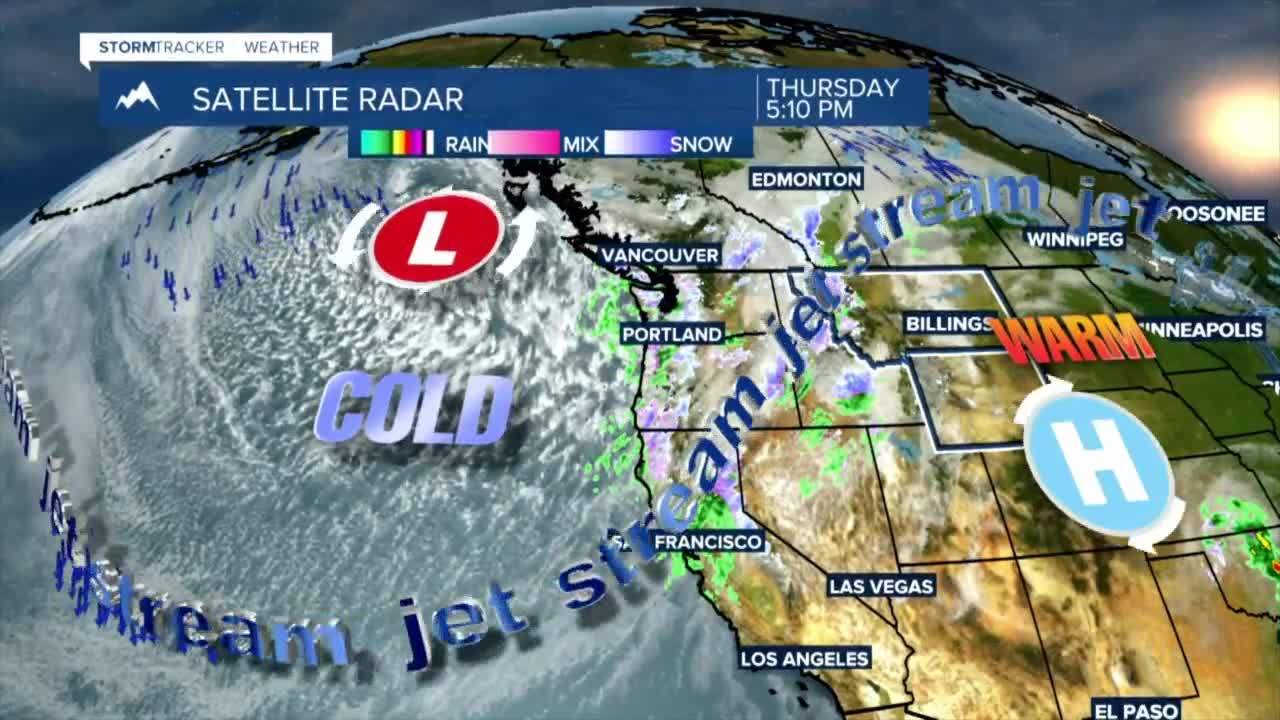


BILLINGS — The wind sticks around overnight, but a cold front snuffs it out while bringing temperatures in line with seasonal averages. Snow for the mountains and scattered rain and snow tag along.
Strong crosswinds will create hazardous travel, especially for high profile vehicles, through Thursday night on Interstate 90, and US Highway 191 from Big Timber to Harlowton. The strongest winds will be 60 to 70 mph from Livingston to Big Timber through tonight, 55 to 65 mph with 30 to 45 mph west of Rosebud County, including Billings.
As a cold front moves across the area Friday, clouds increase with a chance of scattered rain and snow showers. Highs Friday will be mainly in the 40s. Temperatures rebound to the mid-40s and 50s Saturday just before another wave of colder air and showers arrive.
A moist Pacific flow will bring periods of heavy snowfall to the Beartooth and Absaroka Mountains Thursday night through Saturday. The highest accumulations will be on the southwest slopes, including the mountains near Cooke City.
Outdoor recreation will be greatly affected by difficult wintry conditions, and the threat of avalanches will increase.
Sunday through Monday morning will be colder, with teens for the lows and 30s for the highs. Temperatures level off in the 40s early next week, which is typical for early March.
