

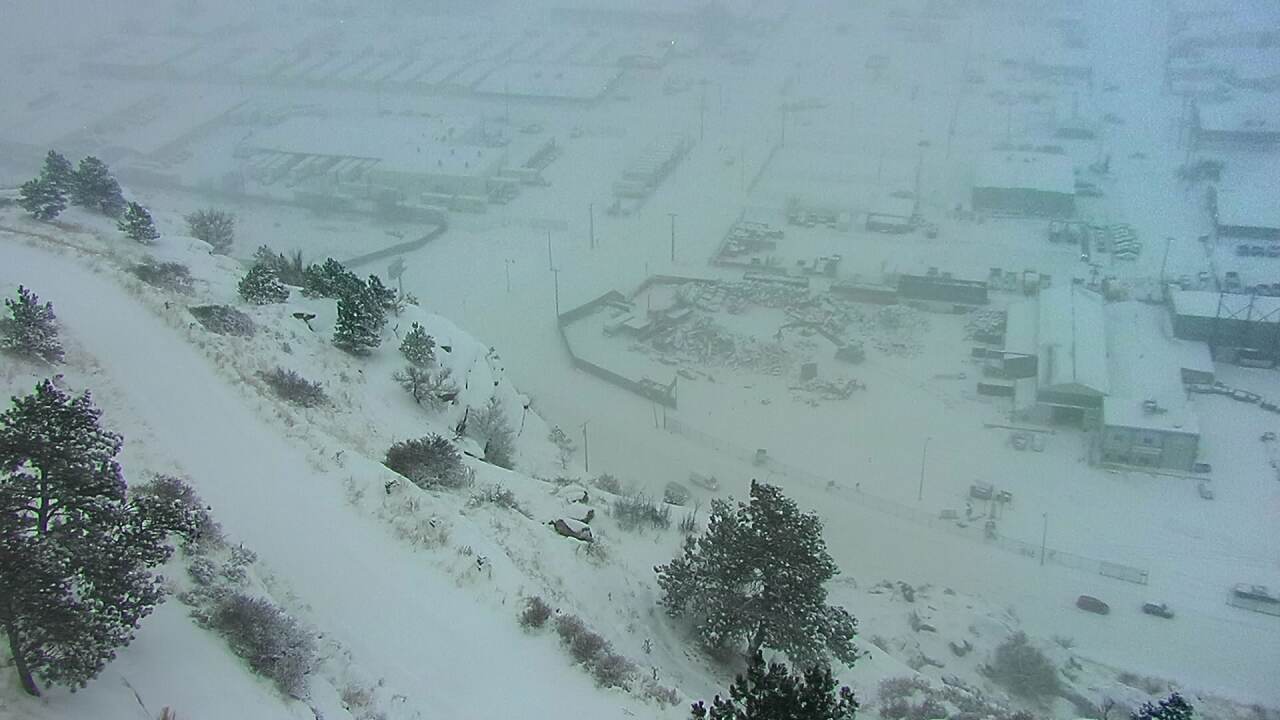
BILLINGS - An early winter snowstorm blanketed Billings on Friday morning.
The forecast calls for more snow through the morning until it begins to taper off this afternoon.

Snow totals across the region as of about 8:45 a.m.
9.4" – 3 SSW Billings, Yellowstone MT
8.0" – 3 NNE Billings, Yellowstone MT
7.8" – 4 WSW Billings, Yellowstone MT
6.8" – 9 NE Hedgesville, Golden Valley MT
7.0" – 6 E Melstone, Rosebud MT
4.2" – 8 ESE Columbus, Stillwater MT
3.5" – 4 ESE Reed Point, Stillwater MT
3.5" – 13 NE Ingomar, Rosebud MT
2.0" – 10 ESE Ashland, Powder River MT
6.0" – 1 N Sheridan, Sheridan WY
2.0" – 2 W Story, Sheridan WY
Check the latest forecast here:
A few schools announced closures and delays due to the storm.
Here are some images from around the city:


Click here for more weather cam scenes.

Click here for statewide road conditions


